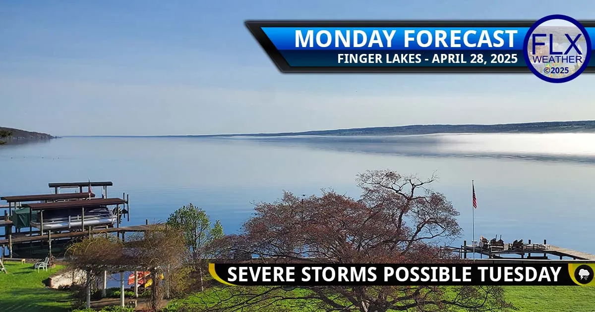
Sunny skies today may turn stormy Tuesday, but uncertainties in how widespread severe weather may become are high. [Photo by Ted Marks, Seneca Lake]
High pressure is over the Finger Lakes today, but a strong cold front late Tuesday will bring the potential for strong thunderstorms.
There is not much to talk about with today’s weather with the high pressure in firm control.
Skies will be sunny with some occasional thin clouds. Winds will be very light, if not calm at times. And temperatures will be warm, with many areas near or above 70 degrees.

However, weather upstream across the Midwest will be potentially volatile and worth monitoring, as it will have an impact on how our weather tomorrow evolves.
Thunderstorm development this afternoon and evening is somewhat uncertain across Minnesota and Iowa, leading to some sort of thunderstorm complex that will move across Wisconsin and into southern Canada and Michigan overnight.
The energy from this potential system will arrive in our area tomorrow during the early to mid afternoon.
A weaker system tonight will likely result in very little energy in our area tomorrow afternoon, thus lowering our chances for afternoon thunderstorms as well.

On the flip side, a stronger complex tonight may trigger more storms over our area as well.
The models, as a whole, are not overly bullish on the latter scenario and tend to favor the former.
But any storms that are able to fire up tomorrow afternoon will have the potential to turn severe with large hail, damaging winds, and perhaps an isolated tornado.
A secondary period of potentially severe weather will come during the evening hours as the cold front moves through. A line of thunderstorms is more likely at this time, dropping southeast through the region with some damaging wind potential and perhaps a little hail.

The uncertainty surrounding the evening storms will be all about timing and how long after dark the storms can maintain their strength. As such, the further northwest in the Finger Lakes you are, the earlier and stronger these evening storms are likely to be.
Currently, the Storm Prediction Center (a branch of the National Weather Service) has most of the Finger Lakes in a Level 3- Enhanced risk, calling for scattered to widespread severe weather.
My feelings are more conservative at this point, expecting isolated to scattered severe weather. I am not at all convinced at this point that thunderstorms will develop, let alone become numerous, during the afternoon hours. I am also wary about the ability for evening the storms to maintain strength as they cross the region.
Uncertainty remains very high, however, due to the important influence of storm development today across the Midwest. This should result in additional clarity with tomorrow morning’s update.
Besides the storm threat tomorrow, temperatures will be very warm, with many areas near or just above 80 degrees. Dewpoints will rise as well, reaching the upper 50s and low 60s, making it feel a bit muggy.
Southwest winds will also be a bit blustery, with some gusts over 30 mph from time to time.
Where FLX Weather Really Stands Out
Severe Thunderstorms. Floods. Snow storms.
Every year, there are a handful of days where the weather across the Finger Lakes is particularly threatening.
Lucky for you, you know where to turn for the best information: Finger Lakes Weather.
Here, you don’t have to worry about hype.
You won’t get confused by forecasts that change every hour.
There is no need to try to translate jargon or understand complicated model data.
And you won’t have to interpolate forecasts from big cities and try to guess what that means for your corner of the Finger Lakes.
Here, you get clear, truthful information from a local expert who is your neighbor.
Every forecast I make is original and my own — not a data feed from a model, AI computer system, or other weather provider.
You have to be here in the Finger Lakes, experiencing the weather and its many subtle variations, to be able to forecast it.
And when the weather turns particularly violent, you can count on me for the updates you need to stay ahead of the storm with live blogging.
Don’t just take my word for it, though. Over 300 people now contribute a small amount of money each month to keep these invaluable services going.
Here is what Sally has to say:
“I’m a monthly donor to FLX Weather. One reason I donate is because of the live chats during severe weather events. Reading the chat reports from other parts of the Finger Lakes and Tompkins County help me know what to expect in my area. Drew goes above and beyond a typical news channel weather report. He studies the comments in the live chat and compares what happened with his predictions so as to improve his forecasts. Frankly, what he does is priceless, and I want to see this channel thrive for many decades into the future.”
The Spring 2025 Fund Drive, the first fund drive in five years, is going strong. As I write this Monday morning, we are at 68% of the minimum goal of 50 new donors needed.
Please consider signing up for a monthly donation, small or big, to keep Finger Lakes Weather going and growing! Learn more at » https://flxweather.com/spring-2025-fund-drive « and join the community of supporters today!

This graphic represents an average over the entire Finger Lakes region. Localized variations should be expected. Click to enlarge.
Bouncing Temperatures
Temperatures will quickly dive as the cold front moves through tomorrow evening, reaching the low 40s by Wednesday morning.
Clouds will linger well into Wednesday morning, but the afternoon should turn sunnier.
Moderate winds will gust over 20 mph, but less than 30 mph, coming from the northwest. Wednesday morning will generally be breezier than the afternoon.
High temperatures will be locked into the 50s. Most areas will then drop into the 30s Wednesday night.
Temperatures will bounce back to around 70 degrees on Thursday. The weather will stay quiet, though clouds may increase as the day goes on, and some showers will be possible Thursday night.
Friday will bring another chance for thunderstorms. The severe threat looks low at this point, but the uncertainty is high.
Saturday will be somewhat showery with temperatures again getting knocked back to the 50s. Sunday should be a touch warmer, with most areas getting into the 60s with sun and clouds.
Next week generally looks warm and dry with only some sporadic, highly uncertain chances for showers showing on the models at this time.
More Information:
» Finger Lakes Weather Radar
» Finger Lakes Weather Radar
» Zip Code Forecasts
» Your Forecast
» Get the FLX Weather Mobile App
This graphic represents an average over the entire Finger Lakes region. Localized variations should be expected.
Don’t forget to join our team of monthly donors today to keep FLX Weather running! Join here!