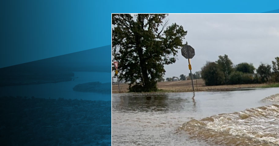
Photo from Daviess County Fiscal Court
Significant and widespread flash flooding has already occurred across Daviess County, and with rain continuing throughout the night, drivers are encouraged to use extra caution. Local and state crews are reporting more than two dozen road closures due to high water. Here are the ones we know about.
This list was last updated by OT at 8:37 p.m. on February 15.
The Daviess County Public Works Department has reported the following road closures from high water.

- East:
- Upper River Road
- Iceland Road
- Rockport Ferry Road
- North Chestnut Grove Road
- Pleasant Valley Road (from Pleasant Point to South Hampton)
- Windy Hill Road
- Short Station Road
- Old State Road
- Old Hwy 54
- Karns Grove Road
- Boston Laffoon Road
- Steven School Road
- Oklahoma Laffoon Rd
- Millers Mill Road
- Central:
- Sutherland Road
- Baird Road
- East Marksberry Road
- Ben Ford Road
- Jackson Road North
- West:
- West 5th Street Road between HWY 279 and HWY 1554
- Hagan Lane South
The Kentucky Transportation Cabinet, District 2 has reported the road updates:
- KY 81 open with high water between the 2.4-3.6 mile points KY 142 open with high water between the 4.4-5.9 mile points (NEW)KY 140 open with high water between 1-3 mile points
- KY 298 blocked by high water between the 2-3 mile points
- KY 405 open with high water between 1-2 mile point
- KY 762 blocked by high water between the 0-1 mile
- KY 764 blocked by high water between the 1.2-1.3 mile points (NEW)KY 1207 open with high water between the 1.4-5,4 mile point
- KY 2127 open with high water between the 0-1.3 mile point